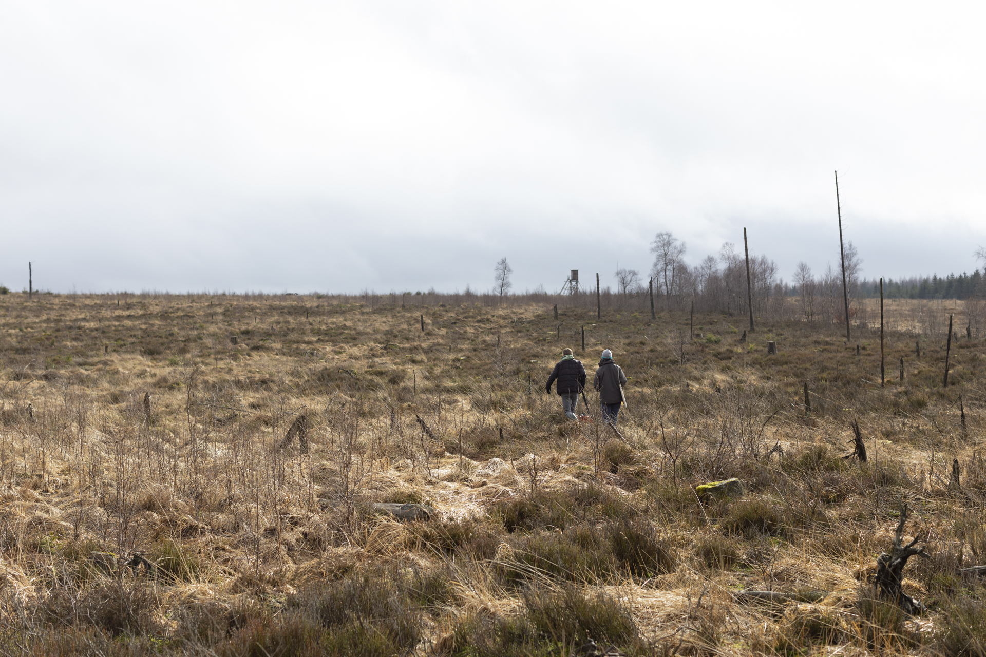
The field site in Belgium is localized near Mont-Rigi, in the upper valley of the Hoëgne River in the Belgian High Fens. It is characterized by a steep topographic gradient with a clear transition from a low-gradient plateau to steep hillslopes and to the fluvial valley and floodplain. Along this topographic gradient, we expect to have stable soil-scape conditions at the plateau site, rapid erosion at the slope position, and sediment accumulation at the valley position. This set up is a prime location to address the research questions of LandSense, as soil hydrological, hydrochemical and soil biogeochemical processes are likely to co-vary with topography. The study site’s area is 33 ha, a transect of interest of 800 m crosses the site and 5 points of heavy monitoring are located along this transect. The mean annual temperature is 6.5°C, average annual precipitation is 1400, and elevation ranges between 600 and 675m. Acidic and nutrient-poor soils developed on weathered early Paleozoic siliciclastic rocks from the Stavelot-Venn Massif. The natural vegetation in the site is characterised by heathers with bushes of Calluna of about 20 to 40 cm high, cotton grasses, and peat mosses. The study site was drained and planted with spruce in which were cut before 2016. The site is now part of the Natural Reserve of the High Fens and is under passive restoration.