
Full-wave radar modeling and inversion for non-destructive characterization of soils and materials.
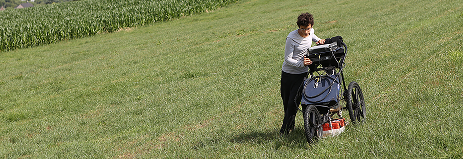
Mapping of the soil hydrogeophysical properties to support precision agriculture and environmental research.
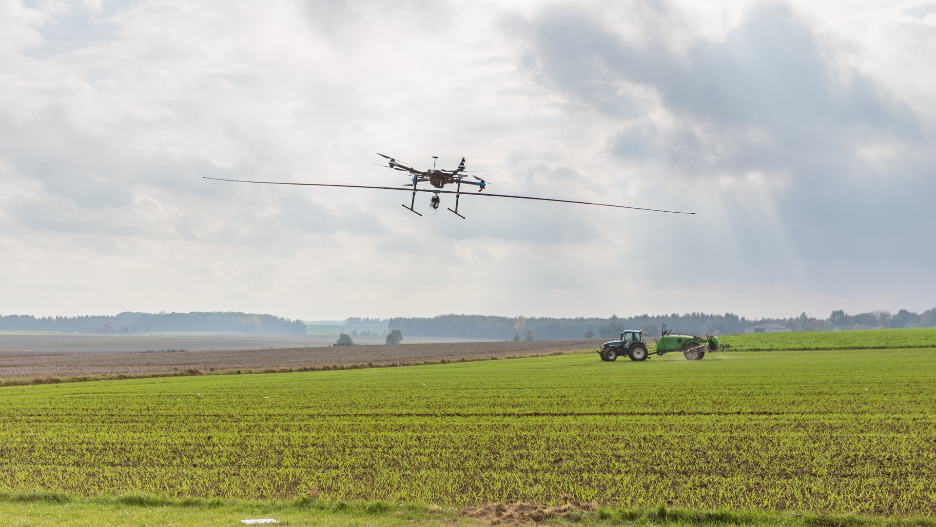
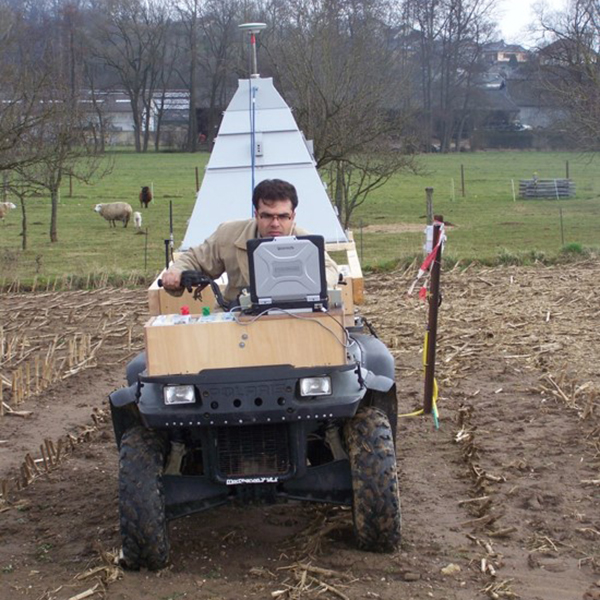
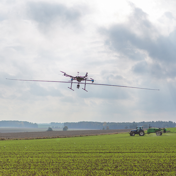
Aerial shooting, photogrammetry and drone-borne ground-penetrating radar soil mapping.
Integrated hydrogeophysical inverse modeling to estimate the soil hydraulic properties.
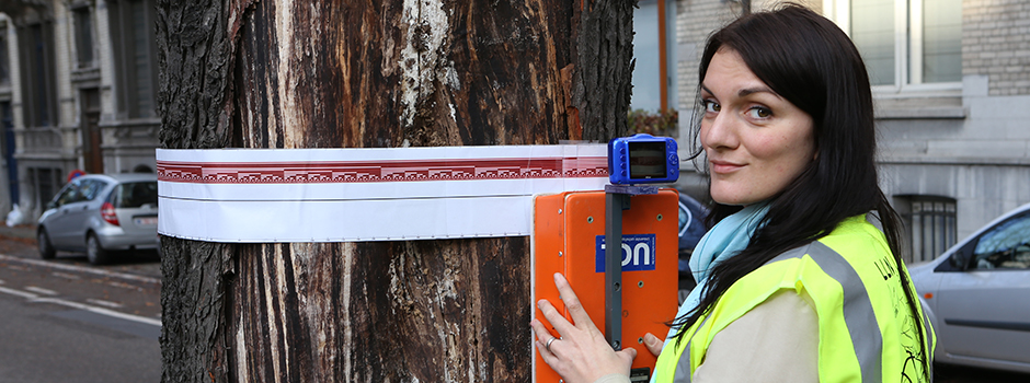
Inspection of roads, tree trunks and other materials using ground-penetrating radar (GPR).
The Ground-Penetrating Radar Research Centre of the Earth and Life Institute at UCLouvain integrates cutting-edge electromagnetic modeling and hydrogeophysics in both fundamental and applied research projects to enhance non-destructive imaging and characterization of subsurface and material properties using ultra wideband ground-penetrating radar (GPR). Initiated in 2000, this longstanding research has in particular been supported by the Fonds de la Recherche Scientifique (FNRS).

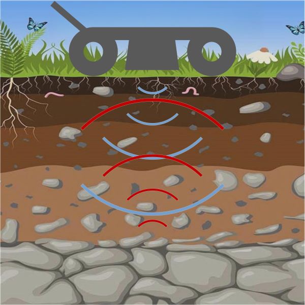
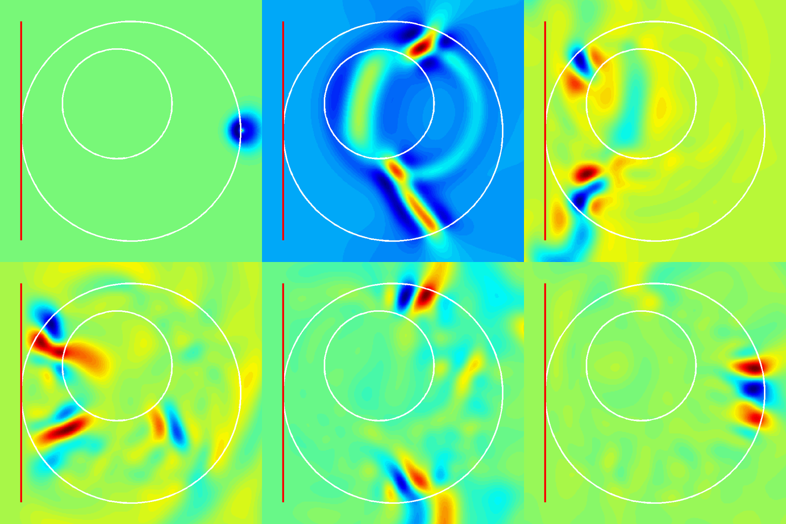
Accurate modeling of the radar-antenna-medium system is essential in full-wave inversion schemes to estimate the physical properties of a medium. For the particular case of far-field GPR with applications to planar layered media, we introduced a closed-form, frequency-domain, radar equation that simultaneously accounts for all antenna effects through frequency-dependent global reflection and transmission coefficients and wave propagation in 3-D layered media through exact Green’s functions (Lambot et al., 2004). Research has been in particular carried out in close collaboration with Delft University of Technology (Prof. Evert Slob) and Forschungszentrum Jülich (Prof. Harry Vereecken). The approach has been generalized to near-field conditions (Lambot and André, 2014), as prevalent in GPR applications.
More information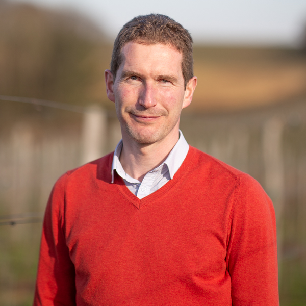
Ground-penetrating radar (GPR), hydrogeophysics, electromagnetic modelling and inversion, remote sensing, and precision agriculture applications.

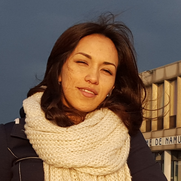
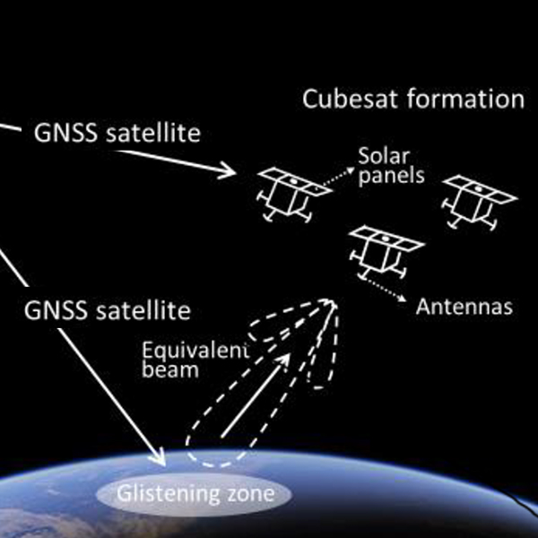
Calibration of GNSS-R satellite products for soil moisture using drone-borne GPR (EU ITN GLITTER project).
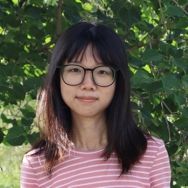
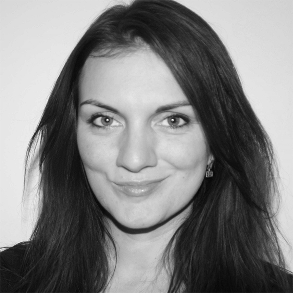
Monitoring of peatlands using satellite remote sensing (BELSPO EO4PEAT project). Co-supervision with Prof. Frieke Van Coillie (UGent). Joint PhD UCLouvain-UGent.
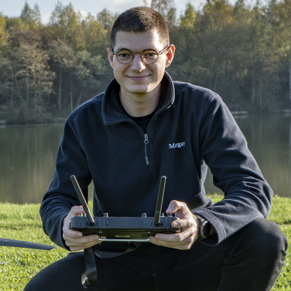
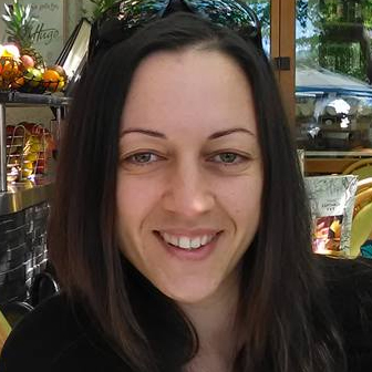
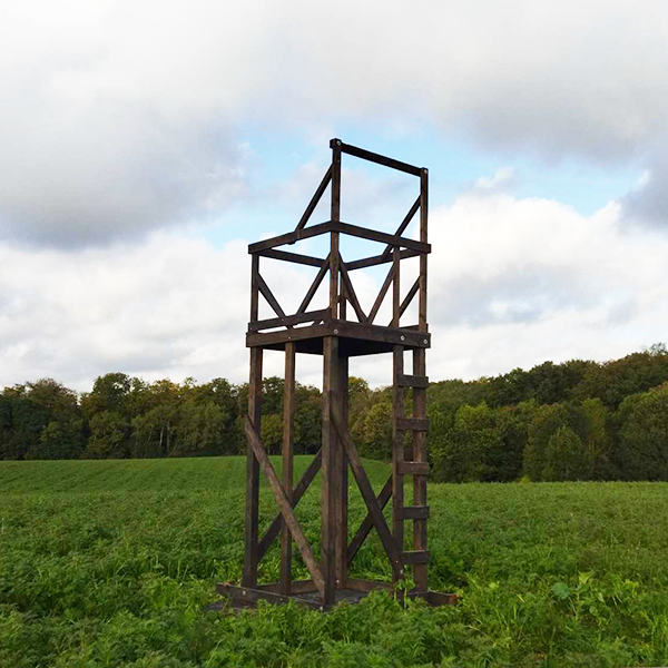
Water and Vegetation Tower Radar Experiments for Improved Climate Monitoring (BELSPO WAVETRAX project).
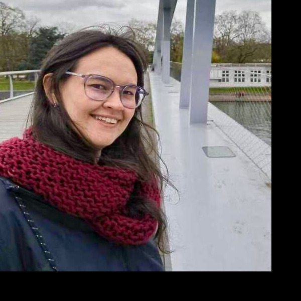
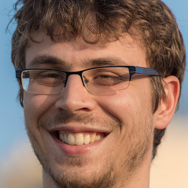
Microgesture recognition using radar (COSMIC). Co-supervision with Prof. Jean Vanderdonckt.
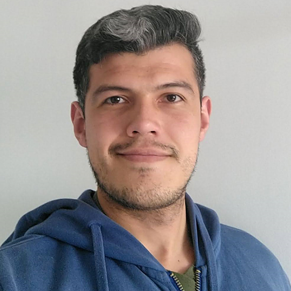
Low-Frequency SONAR for Underwater Object Detection. Co-supervision with Prof. Xavier Neyt. Joint PhD with the Royal Military Academy.
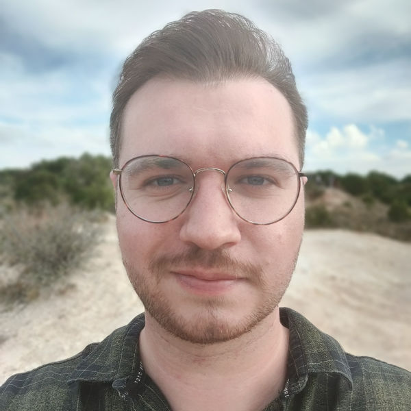
Multi-Signature Underwater MineSweeping. Co-supervision with Prof. Xavier Neyt. Joint PhD with the Royal Military Academy.
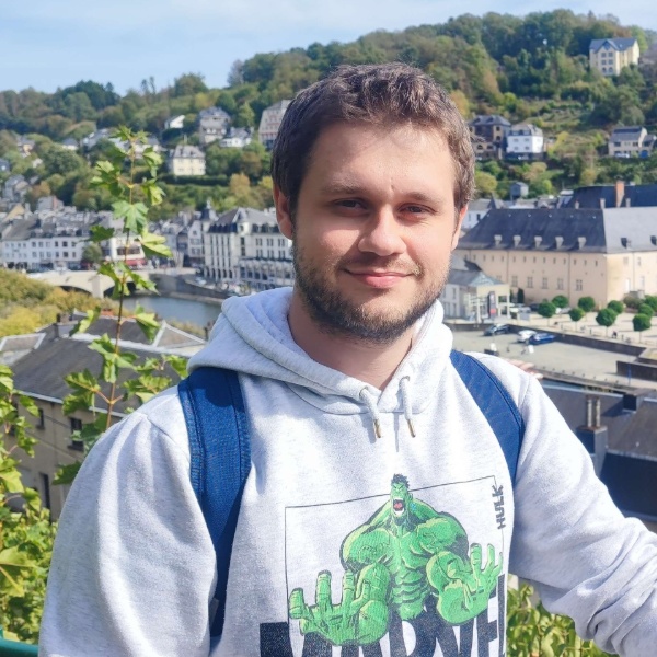
Microgesture sensing for natural interaction (COSMIC). Co-supervision with Prof. Jean Vanderdonckt.
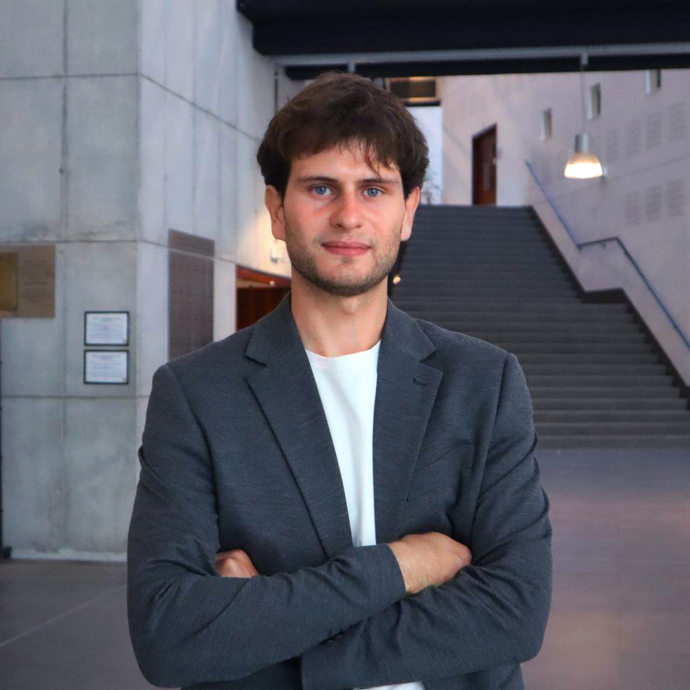
Calibration and drone-scale experiments (EU ITN GLITTER project). From Delft University of Technology (TUDelft). Co-supervision with Prof. Evert Slob.





Thank you for your interest in GPRLouvain
UCLouvain
Croix du Sud 2, box L7.05.02
1348 Louvain-la-Neuve
Belgium
Direct: +32 10 47 37 11
Secretariat: +32 10 47 37 84