Earth Surface Dynamics – Physical Geography K Van Oost Lab

Research activities

Biogeochemistry Human landscape interactions Peatland field measurements
01

Geomorphic controls on biogeochemistry

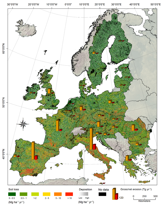
We investigate how erosion, sediment transport and deposition regulate carbon and nutrient cycling across landscapes, and how human activities alter these processes. Agriculture, deforestation and land-use change can profoundly modify erosion rates, sediment redistribution, carbon storage, nutrient availability and greenhouse-gas exchange.

Our work spans eroding soils, depositional environments and downstream ecosystems, from field-scale process studies to regional and global assessments of land-use impacts.
River and landscape processes Erosion and sediment redistribution Landscape and sediment connectivity
02

From soils to rivers & human–landscape interactions

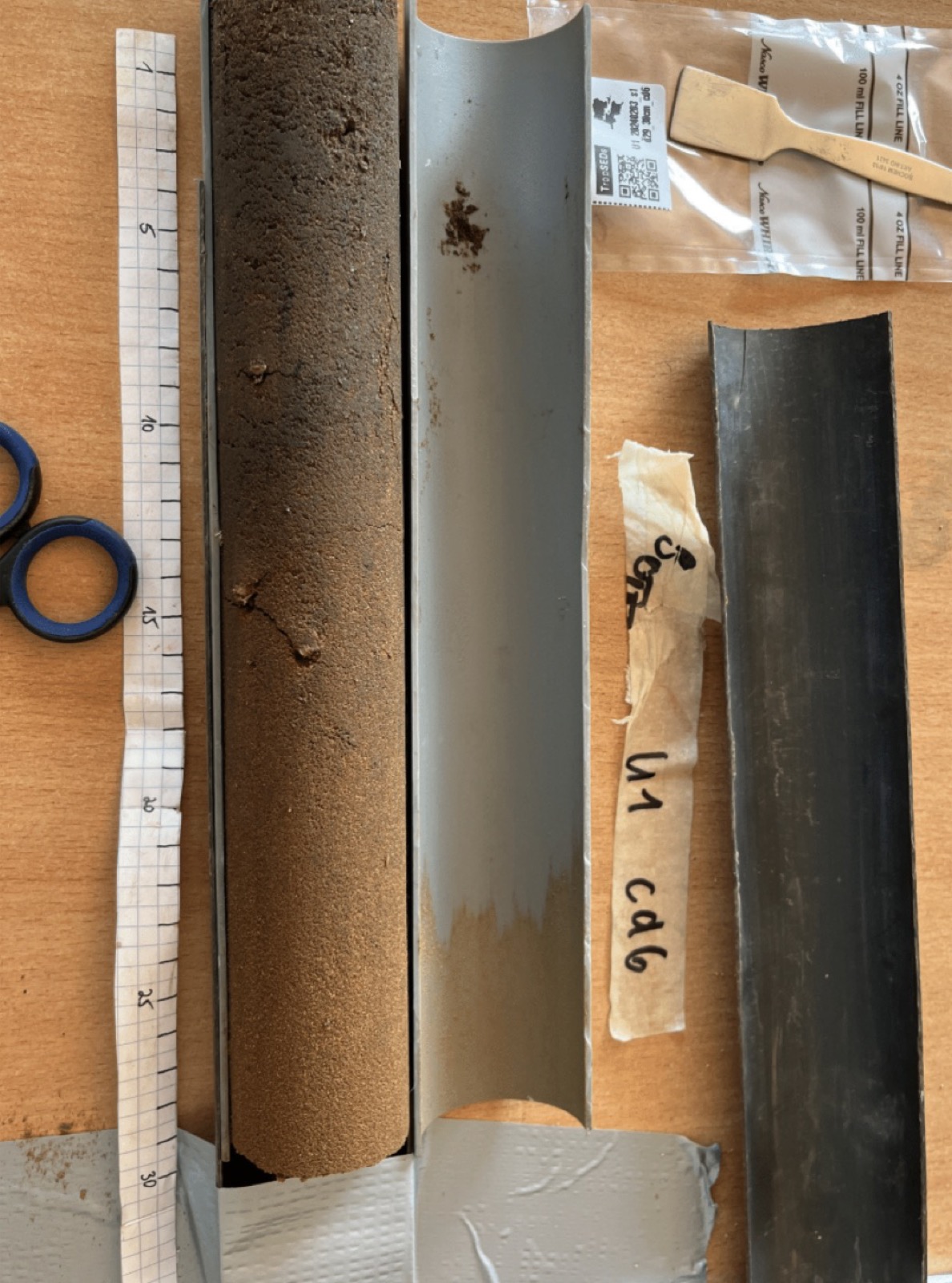
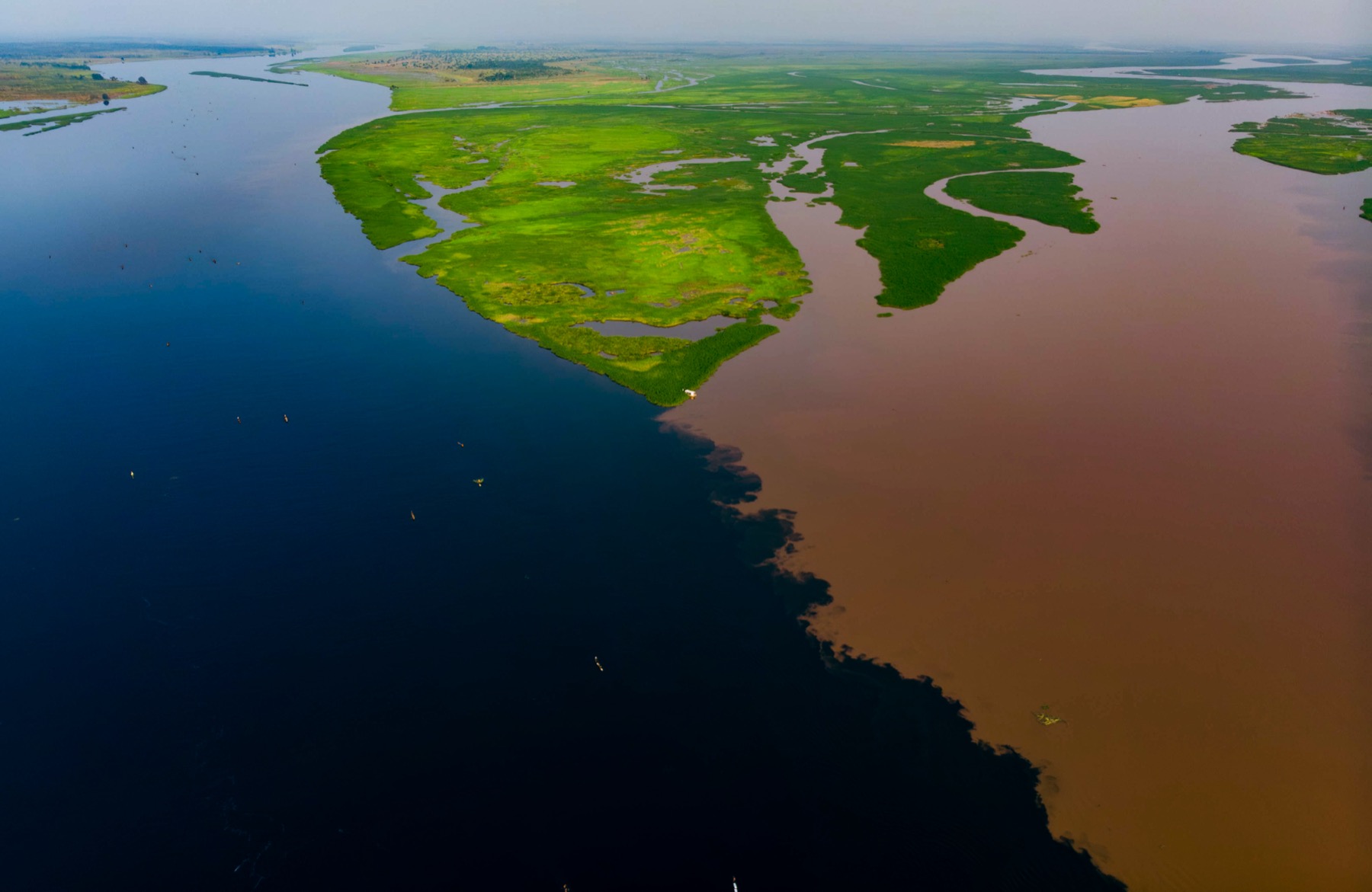
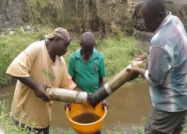
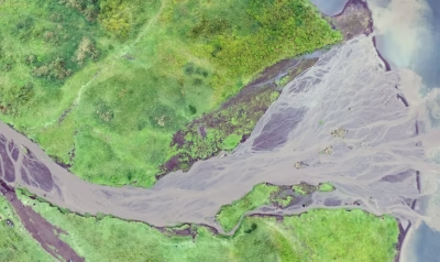
We study and quantify mobilization and transport processes leading to the transfer of sediment through connected landscapes. A central question is how material mobilized on upland soil is transformed, stored or exported as it moves through depositional environments, floodplains and river networks.

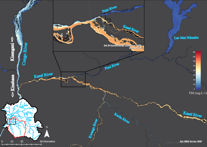
We integrate field monitoring, sediment and isotope tracers, Earth observation and process-based models to study erosion, soil systems and fluvial sediment dynamics across spatial and temporal scales.

Tropical field research Tropical landscape Peatland field measurements Suspended sediment sampling
03

Tropical landscapes & peatlands

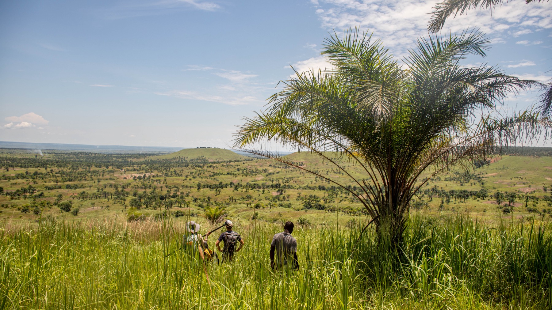
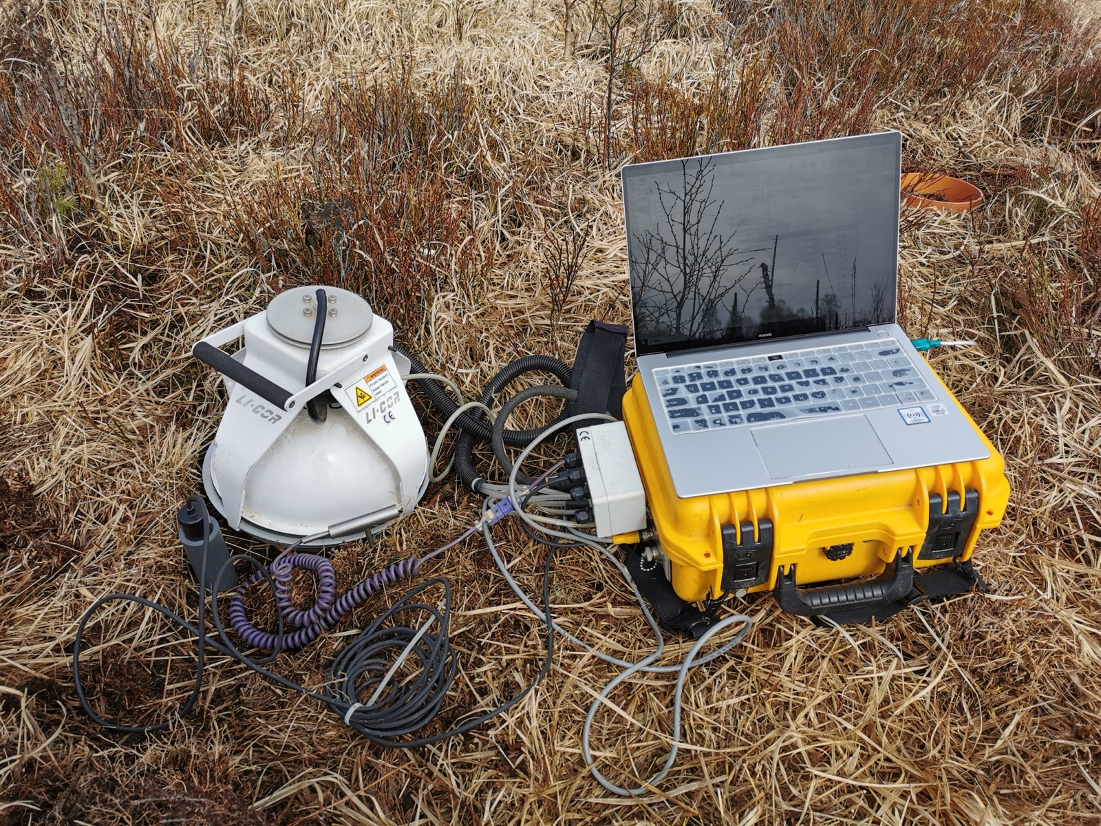
We investigate how climate, hydrology and land-use change regulate carbon, nutrient and sediment dynamics in environmentally sensitive landscapes. This includes tropical forests and agricultural systems as well as peatlands, where hydrological conditions strongly control carbon storage, vegetation dynamics and greenhouse-gas exchange.

By combining field measurements, Earth observation and modelling, we aim to understand how these landscapes respond to disturbance and environmental change across spatial and temporal scales.

Earth observation and environmental sensing Spatial and Earth-system modelling
04

Earth observation, sensing & modelling

We develop and integrate Earth observation, environmental sensing and modelling approaches to measure, understand and scale Earth-surface processes. These include satellite observations, UAV imaging, spectroscopy, LiDAR, geophysical sensing, spatial statistics and machine learning.

These observations are combined with field measurements and process-based models to scale understanding from individual landscapes to river basins and Earth-system models.