Current projects
Landsense
Pushing the boundaries of Critical Zone research: Unravelling hydrological controls on carbon and nutrient fluxes by integrating proximal sensing, field measurements and smart modelling
UCLouvain ARC (2021-2026)
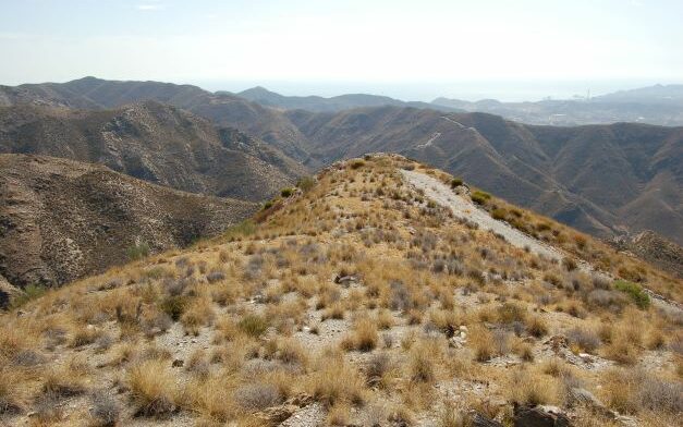
Soil-Landscape in Galapagos
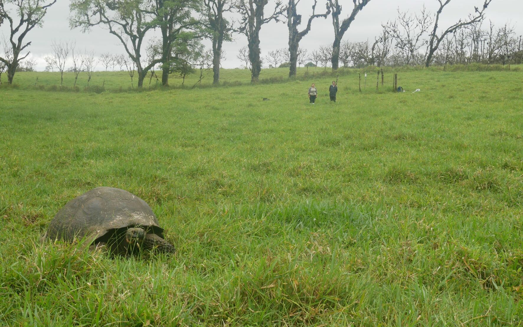
Evolution of the Soil and Landscape in the Galapagos Islands: Natural and Anthropogenic Processes
FNRS PDR Project SoilScapeBasalt (2022-2026)
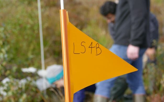
UCE DIUC project (2017-2025)
Landslides disturbing cosmo
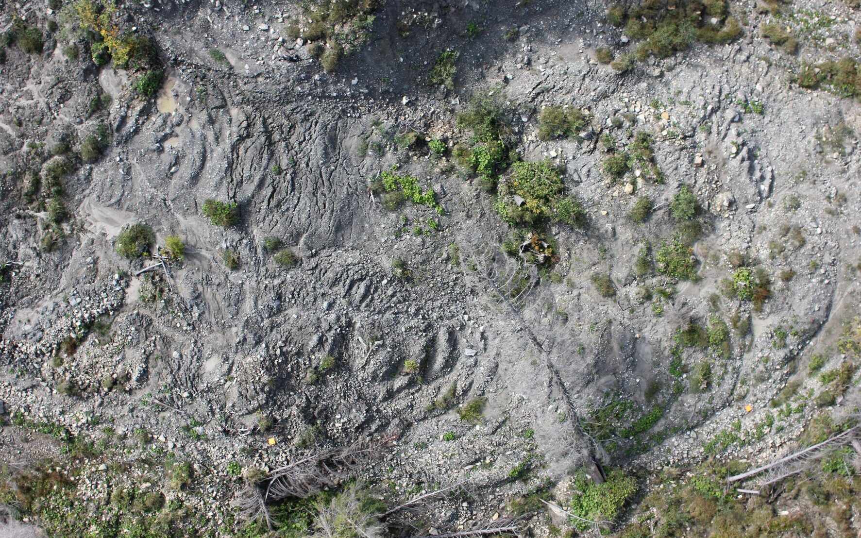
Linking spatial patterns of catchment averaged denudation rates derived from cosmogenic radionuclides with sediment connectivity in Alpine catchments.
FNRS Postdoc project (Chargé de Recherches)
Landscape evolution of Campine Plateau
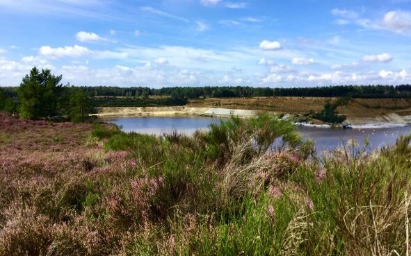
The Campine Plateau is an erosion-resistant geomorphic marker located in NE Belgium. Using CRN (10Be) depth profiling techniques, we are constraining the age and Pleistocene landscape evolution.
Collaborative project with SCK-CEN
ParamoSus

Linking Global Change with Soil and Water Conservation in the High Andes. Soil-water interactions at spatial scales ranging from the pedon to toposequences and small catchments.
ARES PRD international project (2017-2023)
Past projects
SoGlo
The soil system under global change. Accounting for dynamic soil properties and lateral fluxes for a better understanding of the role of soils in biogeochemical cycles.
BelSpo Interuniversity Attraction Pole (2012 – 2017)
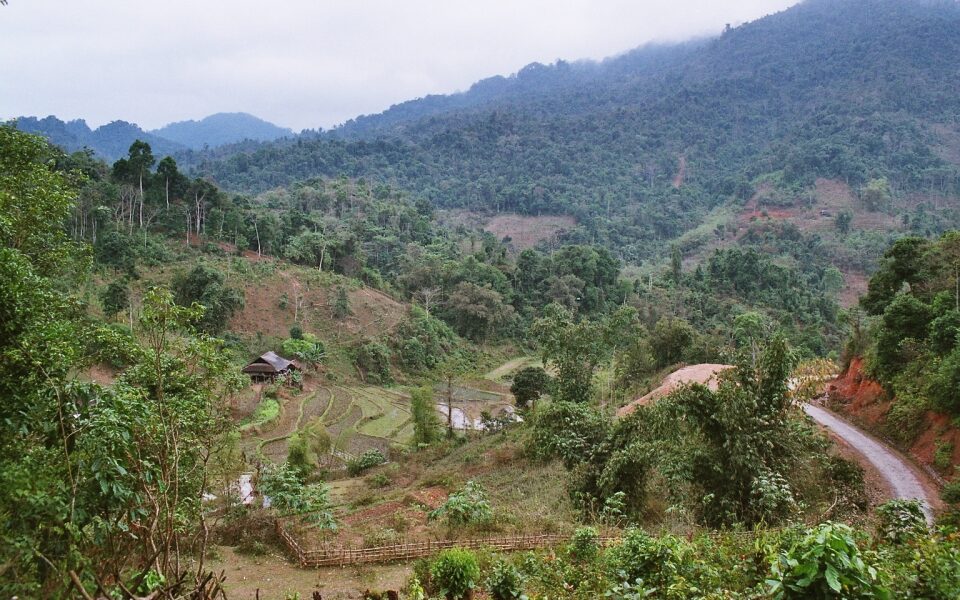
ReForCha
Continuous satellite-based indicators for mapping subtropical forest degradation and its environmental impacts
BelSpo Stereo III Project (2016-2022)
FOMO
Remote sensing of the forest transition and its ecosystem impacts in mountain environments. Project improved satellite image preprocessing chains for LULC detection in mountains.
BelSpo Stereo II Thematic Network (2009-2014)