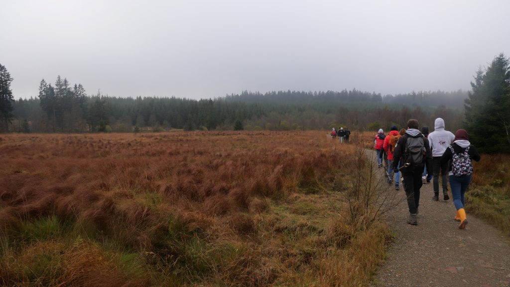
The Belgian Hautes Fagnes region hosts ecologically valuable peatlands. The peat depth can vary locally from a few centimeters to several meters. Techniques based on ground-penetrating radar and electromagnetical induction allow to study spatial variation in peat depth, and to unravel environmental factors controlling this variation.

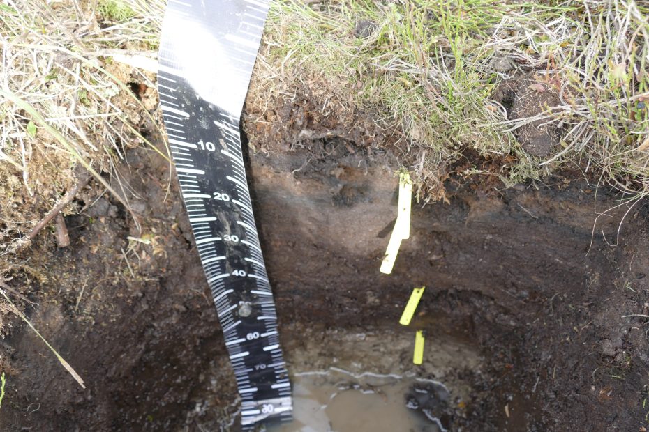
Soil profile sampled in the Hautes Fagnes area, where soil water samplers are installed.
The study on soil-water-vegetation dynamics was realised in the scope of the LandSense project, and it is focused on a disturbed peatland in the Belgian Hautes Fagnes. The site was previously drained and planted with spruce. In the study led by Maud Henrion, we aimed to elucidate the use of Ground-penetrating radar (GPR) and Electromagnetic induction (EMI) techniques in characterizing peatlands, with a specific focus on their implications for peat depth and electrical conductivity assessment, related to peatland degradation.
In the study led by Yanfei Li, we aimed to establish links between the above- and below-ground factors that control soil carbon status of the peatlands, and identify the key environmental variables associated with carbon storage. The study also explored the potential for using Unmanned Aerial Vehicle (UAV) remote sensing for spatial mapping of peatlands. Our results indicated that both peat thickness and soil organic carbon (SOC) stock (top 1 m) are spatially heterogeneous and that the contributions from the surface topography to peat thickness and SOC stock varied from micro- to macro-scales.
More information :
