09/11/2022
The 9th of November, Beatriz will publicly defend her PhD thesis, entitled “Monitoring forest degradation patterns using multi-resolution spatial approaches”.
Summary
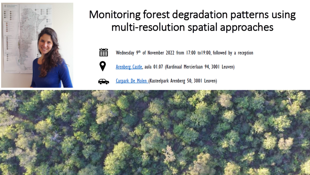
The subtropical dry forests of South-America have been impacted by deforestation and degradation over the last two centuries. The forests still provide important ecosystem services but overexploitation of the forested ecosystems may lead to irreversible loss of provision and regulation services. Remote sensing techniques enable us to monitor changes in forest cover at regional scale. Field-based forest inventories remain essential to measure more specific forest attributes and functions. However, the scale at which such field-based forest inventories can be organized is limited for the detection of slow and subtle changes in the forest at regional scale. Therefore, this thesis analyzed the potential of 3D vegetation models based on low-cost stereo-photos taken from unpiloted aerial vehicles to map forest degradation in dry forests. The ecosystem of the Dry Chaco in Argentina, which is considered as one of the major hotspots of deforestation worldwide, was taken as a case study. Therefore, new data on surface and vegetation height were collected during UAV-flights. Flights were realized at 44 locations in contrasting ecological settings of the Dry Chaco. The results of this research show that structure-from-motion algorithms are capable of reconstructing high resolution 3D surface models of the forest cover and this at a much lower cost than LIDAR derived products. Furthermore, this thesis proposes a set of relevant forest attributes that can be derived from these 3D surface models and compares these with indicators from traditional field-based forest inventories. In a next step, the correspondence between the forest structural indicators and degradation states was examined. Finally, the indicators were compared with high resolution laser data from a recently launched spaceborne sensor, which facilitates the assessment of forest degradation patterns at sub-continental scale.